
Livingston County > Sugar Creek
Sugar Creek is a major tributary of Canaseraga Creek (Upper Section), which it joins near the south end of Poags Hole Road. This stream averages 10 to 12 feet in width and has a predominantly cobble and gravel bottom with some areas of bedrock, especially in the downstream sections. Much of this stream is surrounded by woodlands, which provide some bank cover, but most sections seem to have little overhanging vegetation. Sugar Creek has excellent water quality and flow and is fishable all trout season. The stream supports a small population of wild brown trout, and a 6-mile-long section is stocked with brook trout. A 1,600-foot section of the stream flows through the Rattlesnake Hill Wildlife Management Area, providing public access. (The map pin is located on the DEC parking area just south of the stream). Public access is also assumed to be available in the stocked section.
Blacknose dace are abundant in parts of this stream (see photos), and they are a major source of food for trout. And as with trout, these small fish thrive only in cool, clean water. See Links for how to tie a blacknose dace fly.
In addition to fishing in a very rustic setting, Sugar Creek offers great opportunities for creek walking and photography. All of the stream between the crossing of Canaseraga Road and the junction with Canaseraga Creek flows through private property, but it's worth getting permission to hike here, as several beautiful waterfalls are located along this section of the stream (see photos).
__________________֍__________________
A link to an associated resource (Rattlesnake Hill Wildlife Management Area) will be added soon.
Location Map
Photographs (click to enlarge)
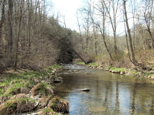
Sugar Creek, shown here flowing through the Rattlesnake Hill Wildlife Management Area. This section of the stream, which supports a small population of wild brown trout, is accessible from Dannack Hill Road.
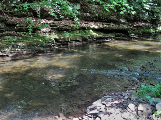
Much of the upper section of Sugar Creek runs along the base of a cliff, and these sections are often narrow and deep. The run shown here is about 18 inches deep.
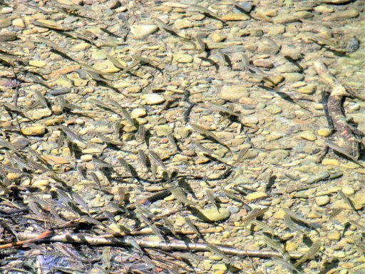
Trout aren't the only fish found in Sugar Creek. Great numbers of small fish, such as these blacknose dace, are found in many sections of the stream. These small fish can make bait fishing difficult, but they provide food for adult trout.
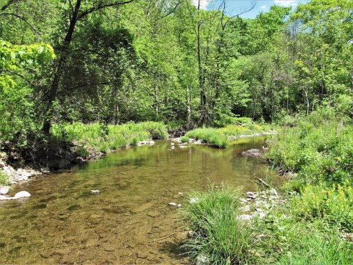
Though much of Sugar Creek flows through a heavily wooded area, a few sections are open enough to cast a fly.
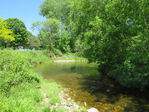
Most of Sugar Creek has fairly thin water, but there some big pools on this stream. This pool near the middle crossing of Linzy Road is about 3 feet deep.
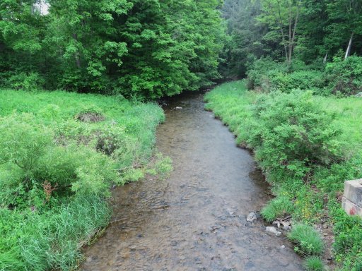
Sugar Creek, seen looking downstream from Blank Hill Road. From this point on, Sugar Creek flows through a densely wooded area with a complete riparian canopy. This section of the stream is stocked with brook trout.
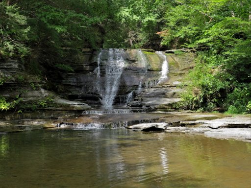
Shortly before Sugar Creek flows into Canaseraga Creek it flows over several waterfalls, all of which are on private property. If you can obtain permission to access the waterfalls, you'll have opportunities to take some great photos and possibly do some fishing. Even when water levels are low and summer air temperatures are high, waterfalls can make long sections of a stream habitable to trout. I've seen trout caught below this falls in August.
Resource Map
Resource map currently unavailable.
Access
Road Access:
- Crossing at Canaseraga Road
- Crossing at Linzy Road
- Sugar Creek Glen Campground
- DEC parking area on Dannack Hill Road (Map Pin)
- Potential parking area on Blank Hill Road
Boat Launch Site(s):
None.Fishery Management
Fish Species:
- Brown Trout Wild
- Brook Trout (stocked)
Stocking Information:
Special Fishing Regulations: